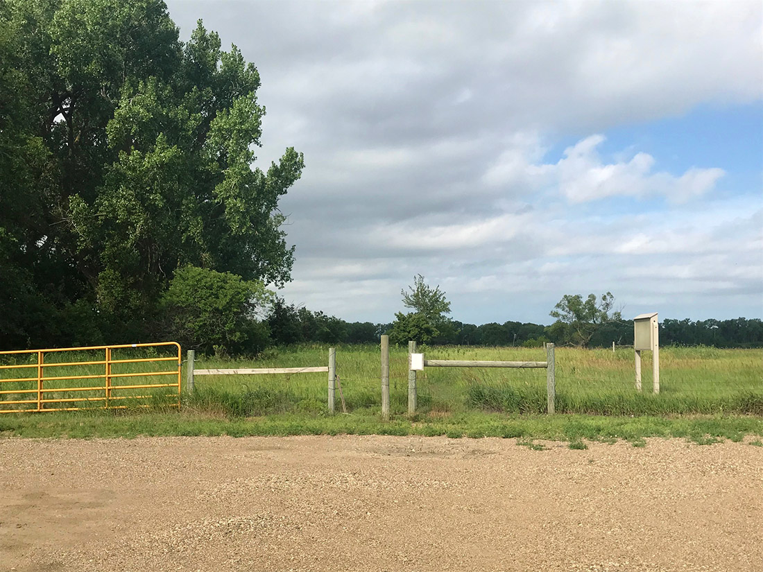
This is the view from the parking lot you should use for access to the North Alabama Bend area. It's easy to miss! The easy way to find it...as you turn south and from Highway 50 and start heading down Highway 19, go just about 1.75 miles. The land on either side of the road to that point is primarily cropland and grass. After about 1.25 miles you'll see a large expansive grassy area on your right (west side of Highway 19). That's North Alabama Bend. As you approach the 1.75 mile mark (south of Highway 50), you'll see the first big extensive line of trees on the west side of the road. The parking lot you'll want to use is right at the north edge of those trees, on the west side of the highway.
The photo below shows the parking area, with the opening in the fence where you access the trail. Right when you step out of the car, you may notice what makes this place special for a birder. On the left of the photo, you've have a very dense line of forest that continues down to the river. On the right side of the photo, you have a very large expanse of grassland. Just stepping out of your vehicle in the parking lot you may hear typical eastern woodland forest birds on one side (Eastern Wood Pewee, Rose-breasted Grosbeak, Red-eyed Vireo, etc.), while on the grassland side you are likely to hear Western Meadowlark, Dickcissels, and Eastern Kingbirds.
The trail itself will curl to the north for 160 yards (according to Google Earth!), before you'll come to a T where you can go right or left. The main trail is a loop around the entire grassland area, with spur trails that take you down to the river itself. You can go either way, but the fastest way to the river is to take a left at that first T.
See the North Alabama Bend Trail page for more information.


Custom Search
|
SOUTH DAKOTA BIRDS AND BIRDING - LOCATIONS OF WEBSITE VISITORS
 |
Please mail any comments/suggestions/additional links for this page to: Terry L. Sohl