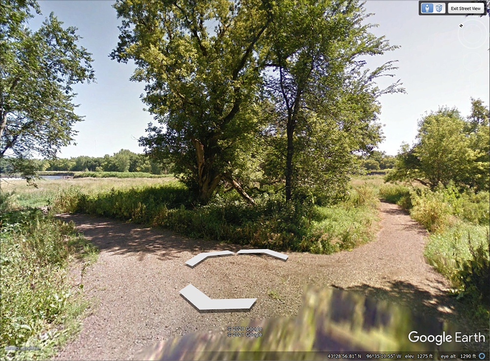
The image below (From Google Earth's "Street View" depicts the location marked on the Good Earth State Park "Hotspot" Page, which is basically the northeastern end point of the "Basswood Trail" (as marked on the Good Earth trail guide). The trail heads down the ridge surrounding the flood plain and ends here, where the forested ridge gives way to the more open habitat of the Big Sioux River floodplain itself.
It's the "edge" habitat here that's the attraction. Dense forest lies directly behind the view shown here, where it butts up against an evolving landscape that may change characteristics in response to activity from the river over the preceding months and years. In general, the open space between the river and the forest is covered by a mix of grasses and herbaceous plants, with the composition of the vegetation changing as flooding occurs. Periodic flooding of this region also results in some more damp locations, offering some vegetation preferred by birds that like wetland vegetation.
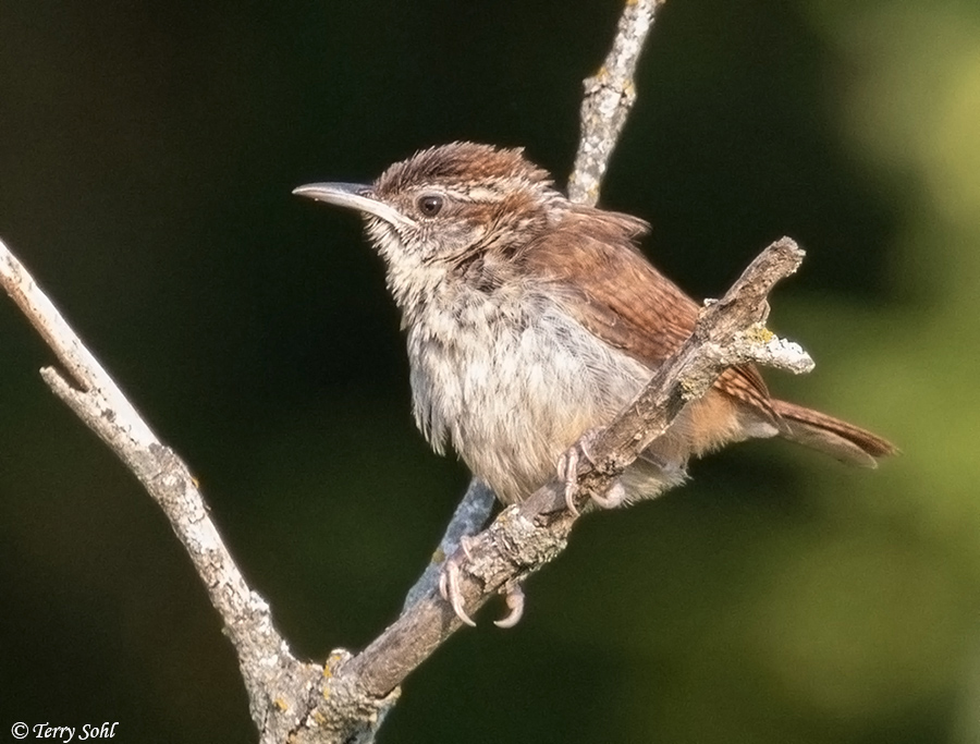
Another trail heads off towards the river, moving through the open herbaceous landscape. This landscape has often been very good for birding. It's simply alive with Common Yellowthroats, but both grassland and forest species can sometimes be found in this edge habitat. This is the same general location where in 2020, I found and photographed multiple Carolina Wrens, a species that's quite rare in South Dakota (see photo below).

Custom Search
|
SOUTH DAKOTA BIRDS AND BIRDING - LOCATIONS OF WEBSITE VISITORS
 |
Please mail any comments/suggestions/additional links for this page to: Terry L. Sohl