Birding the Sioux Falls area in April and the first half of May was…sloooooooooooooowwwww. With the late cold weather and snow, and continued wet spring precipitation, there was certainly plenty of water around (and there still is). But shorebirds were very slow all spring near Sioux Falls (perhaps just spread out?). Sparrow migration was utterly spectacular in April, but other songbirds? Once the sparrows left, it seemed like there weren’t any other songbirds filling the void. Certainly not warblers, which were few and far between for much of May. With the South Dakota Ornithologist’s Union (SDOU) meeting in Brandon on May 17-19, and with an incredibly wet forecast, the prognosis for good birding wasn’t great.
And then a funny thing happened…songbird migration ended up being utterly spectacular that weekend. The birds seemed to have arrived overnight, with warblers galore, and plenty of other songbirds as well. I personally had a 20-warbler day that Saturday (the 18th), and that’s with me whiffing on a few species that others saw in the area. It was one of the best, if not the best, warbler and songbird days I’ve had here in the 20 years I’ve been birding.
So what happened? As a scientist, I say LET’S CHECK THE SCIENCE behind it! You know how they say “There’s an app for that?” Well there’s also typically a scientific explanation behind…everything, if you look hard enough. That’s certainly true in this case.
For one, let’s check the weather radar for the overnight period from Friday, May 17th through Saturday May 18th. The weather that Friday was cloudy and rainy, driven by a low pressure system and a slowly moving front moving northeastward out of Nebraska. With the system predicted to generally stall over our area for the weekend, the forecast was bleak.

The weather system did move northeasterly through the afternoon and evening, triggering storms both along the trailing warm front to the south through Nebraska and Kansas, as well as more unsettled weather wrapping around the low pressure system. Moderate to strong northeasterly winds were found behind the low pressure system, but in front of the low were southerly and southeasterly winds…including in the area around Sioux Falls. It took until daybreak for the low pressure system to reach the Sioux Falls area, basically sitting directly over the region. But from the previous evening through daybreak on May 18th, an area from Sioux Falls, southward into extreme eastern Nebraska and all of Iowa and Minnesota were subject to south and southeasterly winds.

Given how slow the migration had been all spring long, the birds had to be…somewhere. But where? How could science have explained the fallout of warblers and other birds that weekend? The weather map and the southeasterly winds provide one clue, but the other is provided by weather radar itself. Since the 1950s, it’s been understood that weather radar could potentially identify features in the sky other than the weather…and that includes birds. There’s even a term for it now…Radar Aeroecology. A 1956 paper by Bonham and Blake discussed the radar echoes provided by both birds and flying insects. While research continued in the decades since, it’s only recently that the information has been made available for a birder’s benefit.
The animated map below shows national-scale radar returns for the night of May 17th. The advancing low and front, and associated precipitation, can be seen as it moves out of Colorado, through Nebraska and into South Dakota. But what of the radar returns in the eastern half of the country? Those are birds…birds taking flight just after sunset to resume their spring migration northward. You can identify the “bloom” around each radar location shortly after sunset, with the blooms appearing east to west as the sun sets. Where are the heaviest migration “blooms”? Look at the radars lighting up after sunset in the Midwest…St. Louis…Des Moines…other radars in Missouri, Illinois, and Iowa depicting heavy densities of birds taking flight.

But how can we translate those radar echos to where the birds are moving? In recent years, Cornell University, in partnership with multiple academic institutions, have developed “BirdCast“. They have developed algorithms that use weather radar returns to quantify the density of birds, while using short-term weather forecasts to project likely movements. The resultant “BirdCast” provides a 1- to 3-day look on likely bird migration hotspots.
The animated map below provides a depiction of estimated bird migration traffic that night. Ahead of the advancing front, southerly and southeasterly winds were favorable for migration, particularly as large densities of birds were already stacked up from the previous days and weeks. Sioux Falls was on the western edge of this migration hotspot, a beneficiary of favorable weather patterns bringing in birds from Missouri, Iowa, and Minnesota.

The map below depicts the situation that occurred throughout much of the first half of May. Prevailing weather patterns and storms, along with the cool weather, kept birds stacked up to our south and east, with a very slow spring migration to this point in South Dakota. The week prior to the big Sioux Falls fallout, birds were so far south that the Houston area birders declared a “Lights Out” period from May 9th-12th to avoid confusing the mass of migrating birds. But they had a long ways to go to get to South Dakota.

The result of the changing weather pattern…an absolutely spectacular weekend of birding in the Sioux Falls area the weekend of May 17-19, particularly as the forecast deluge mostly fizzled out. I admit that even I as a scientist was somewhat skeptical of the Cornell BirdCasts. But after the events of that weekend, count me as a firm believer!
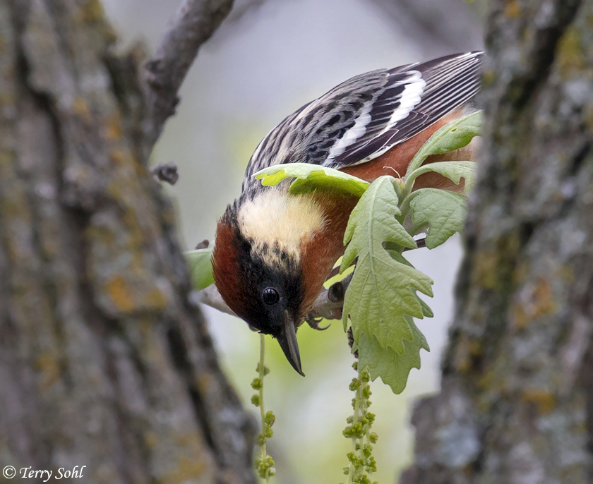
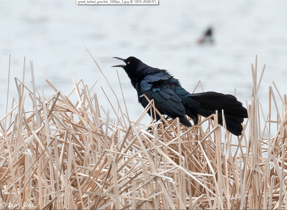
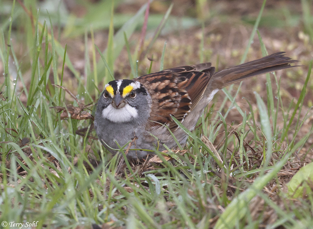
Here are some photos of the spectacular birds of that weekend:


